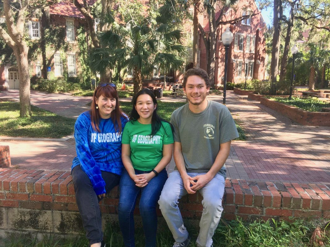
Professional Experience
University of Florida Department of Geography
Gainesville, Florida
Undergraduate Research Assistant
Date: January 2018–Present
Learned and utilized Google Earth Engine to classify over 1700 land cover training samples that will be used to create a land cover map of Ethiopia
Date: January 2018–Present
Learned and utilized Google Earth Engine to classify over 1700 land cover training samples that will be used to create a land cover map of Ethiopia
University of Florida Emerging Pathogens Institute
Gainesville, Florida
|
Undergraduate Research Assistant
Date: July 2017–Present I analyzed vector born disease data from Latin America by utilizing Excel, RStudio, and ArcGIS. Through this experience I increased and gained multiple skills as well as worked with a research team. I gained basic skills in R by using tutorials and through hands on experience by creating graphs and data models. Through R programming, I learned to trouble shoot and to debug code. |
|
Tanzania Development Trust
Gainesville, Florida
Online Volunteer
Date: May 2017–August 2017
As an online volunteer I learned the importance of using open sourced mapping systems that allows local communities to address multiple problems and create solutions in their community. I located, mapped, and labeled key infrastructure from satellite imagery using OpenStreetMap to prevent and reduce gender based violence in Tanzania. By utilizing the online message forum I worked with other volunteers to ensure all relevant objects were mapped and labelled correctly.
University of Florida Map and Imagery Library
Gainesville, Florida
Student Assistant
Date: June 2017–August 2017
As a student assistant I examined, compared, sorted, compiled, and added over 1,000 aerial photos to the library collection. I updated the aerial photo database by utilizing Excel and documenting photo flight name and number so new aerials can be used. I also managed the reference desk by answering phone calls, questions, and assisting patrons. This experience has allowed me to gain additional administrative experience.
University of Florida Department of Geography
Gainesville, Florida
Undergraduate Research Assistant
Date: January 2017–June 2017
As an undergraduate research assistant I analyzed over 500 years of data by using Excel and created 48 graphs to examine the variable relationships. I worked with my professor to identify the correct data analysis test, corroborate and discuss results, and further advisement on writing a research paper. I applied knowledge gained from previous classes to understand the use of geographic quantitative data methods to find a relationship between El Niño events and potential weather effects. Currently I am working on writing a research paper for these results.
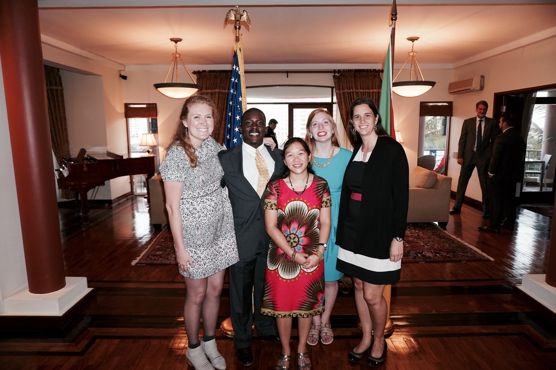
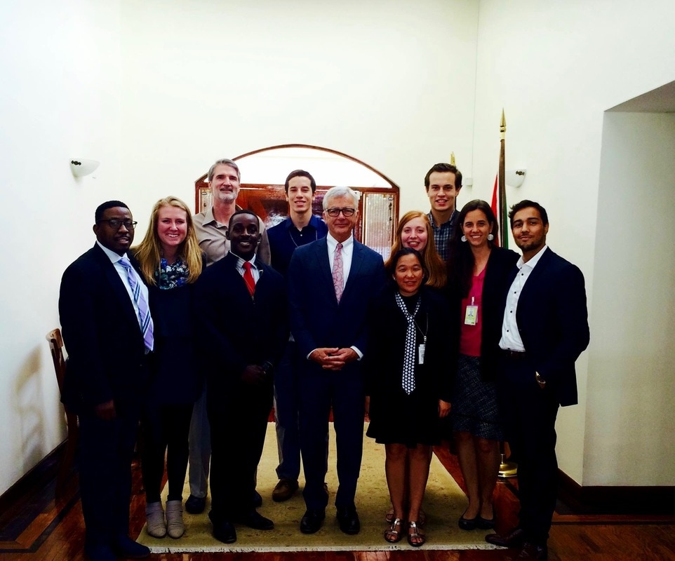
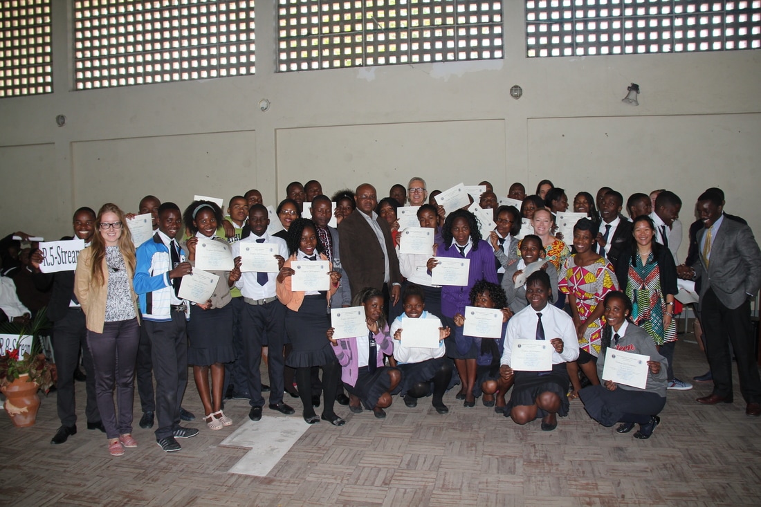
United States Department of State
Maputo, Mozambique
|
Public Affairs Intern
Date: June 2016–August 2016 I supported the embassy's online social media content, education exchange programs, outreach events, and the American Culture Center. My main duties included supporting the US Education Exchange programs through downloading, sorting, and organizing application materials. Through this experience I was able to interview some of the applicants. I also accompanied the U.S. Ambassador on Public Affairs community engagement events where I got to interact with Mozambicans who were learning how to teach English as a second language and watch diplomacy in action. |
|